
Storms Possible Friday Night in the Quad Cities

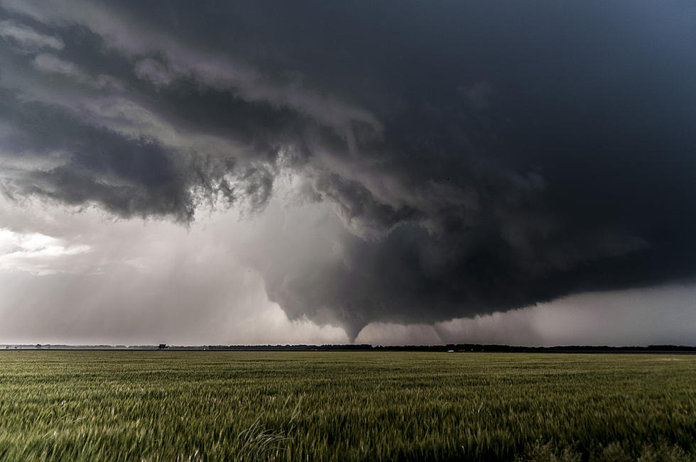
On one hand, our lawns need a drink. On the other hand, we all still have a bit of PTSD after the derecho hit earlier this month.
According to KWQC TV's Kevin Phelps, it looks like the Quad City area can expect some thunderstorms with high wind and hail between 7 p.m. and 9 p.m. Friday, Aug. 28. Here's part of the forecast.
High winds and large hail will be the primary threats. As of right now there is a slight risk over our area. This gives us about a 15% chance for storms becoming severe in our area.
Ongoing storms to our north have thrown out an outflow boundary that has changed the winds in our northern counties to the NW.
This isn’t favorable for storms to develop as strong as usual. While there is still some uncertainty, storms that do form will be isolated in nature and still strong.. The front will likely be SE of the QC after 7PM. Cooler and more comfortable weather is on the way this weekend with highs mainly in the 70s and 80s.
When I flipped on KWQC's noon news I heard Kevin Phelps also say he didn't think our area would get much rain which our lawns and local crops could use. He also said this was the driest August on the books in the Quad Cities.
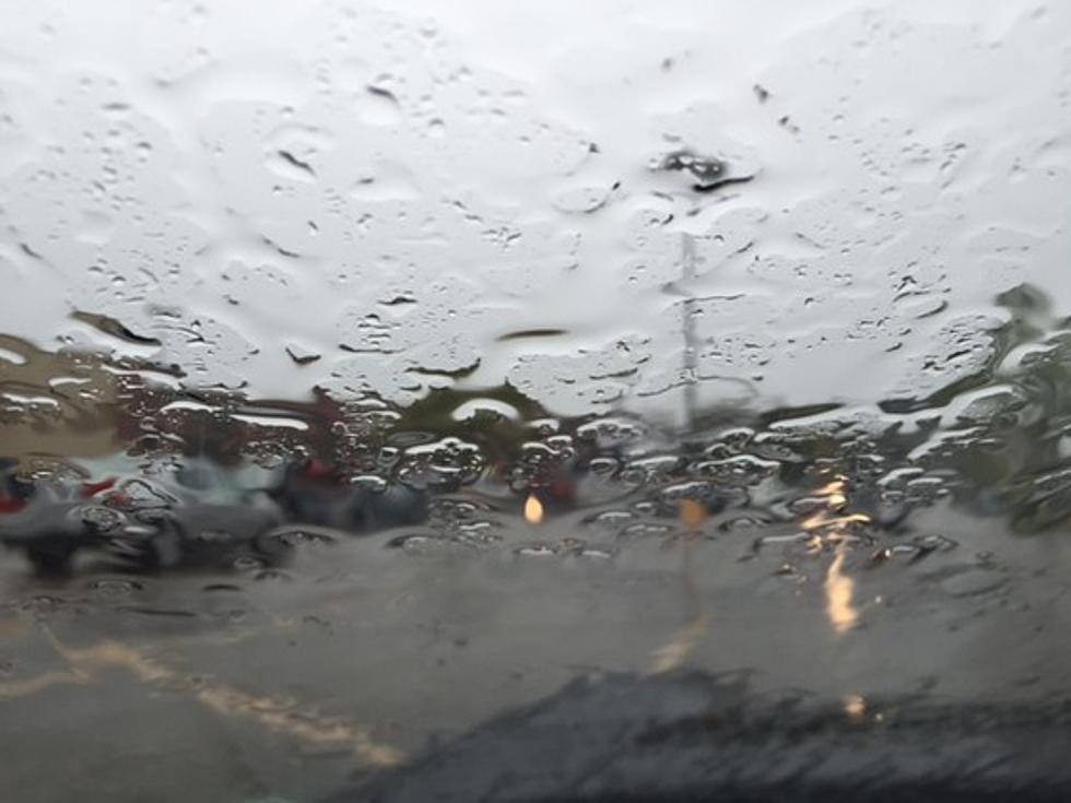
Although the cooler temps would be a nice break, we really could use a good rainfall. I'll just pass on the wind and hail part of the storm. Who's with me?
Best Cars for Dogs According To Autotrader
More From US 104.9